
Lab 7: Grayscale Choropleth Maps of the 50 States
Comparison of Natural Breaks and Equal Interval
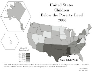
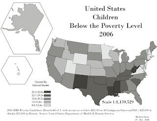
The map classed by equal interval gives an impression at first glance of a split between northern and southern states and shows a clumping of southeastern states. The natural breaks classified map appears more diverse. If I were to really use Natural Breaks I would have split it into many more categories but was limited to five for eye ease (especially since we were told to create the map in grayscale).


No comments:
Post a Comment